
St. Andrews Neighbors by Block
The immediate block has several record layers, and each answers a narrower question. The public GIS map establishes parcel position and nearby boundaries. The Assessor identifies an owner of record for one parcel. The Richland County Register of Deeds ties recorded transactions and plats to legal descriptions. Precinct sources describe civic geography, while historical maps and directories can put a street in a dated context. None is an address-complete directory of people, so the sensible result is a documented property or community trail, not a claim about every household near an address.
| Source | Block-level value | Access and boundary |
|---|---|---|
| Richland GIS parcel map | Parcel outlines, selected parcel, map position, district and amenity context. | Public mapping; proximity is geographic only. |
| Assessor property record | Owner of record plus property and tax context for one parcel. | Public property record, not a record of everyone present. |
| Register of Deeds | Recorded parties, plats, transfers, and legal descriptions. | Paid online access or counter research; not an address-complete block directory. |
| County precinct list | Precinct names and polling locations serving parts of the area. | Public civic context, not a person list. |
| SEC voter-list product | Statutorily described fields for a qualified purchaser. | Not a public neighbor-browse tool; use limits and protections apply. |
| Historic maps and directories | Dated street names, address ranges, and some historical household clues. | Library or archive access; retain date and known collection gaps. |
| Community groups | Public organization contacts, events, or information voluntarily published by a group. | No official comprehensive St. Andrews association roster was found. |
For a current block question, begin with the parcel map and keep the tax map number for each selected boundary. For a past family-property question, a recorded instrument, plat, or dated library source can add time to the map. The sources are complementary, but they are not interchangeable. A mailing field, map marker, or recorded party cannot by itself prove a current household connection.
Note: Keep the parcel number and the date of each result, because adjacent boundaries and recorded ownership information serve different purposes.
Map a St. Andrews Block
Richland County GeoInfo gives address-specific political-district and assessment context. The related GIS Property Search presents mapped and tabular property information, with standard map, aerial and oblique imagery, and Street View options documented by the county. Start with an exact address, verify the selected parcel label, then zoom out only far enough to inspect the parcels that are actually adjacent. A visual near-match across a road, a drainage area, or a larger tract is not the same as a shared boundary.
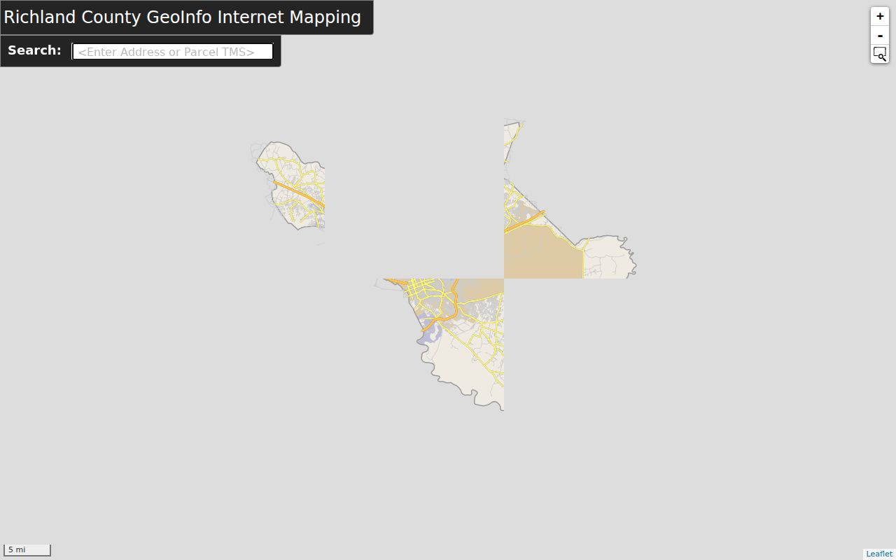
The GeoInfo result supports a careful block method because it distinguishes the target address from the wider map context. Richland’s documented GIS tools also permit parcel-number location, area zoom, layer controls, and printable maps. Record the tax map number from each adjacent boundary rather than trying to infer it from a street number or an aerial image.
- Search the target street address, then confirm the selected parcel and its map label.
- Zoom out to the immediate block and select each parcel that actually adjoins the target boundary.
- Write down each parcel’s tax map number and return it to the Assessor service for the owner-of-record field.
- Use a plat or ROD record only after the legal description or subdivision reference matches the selected parcel.
- For a whole named street rather than one block, use the St. Andrews street directory and its address-record workflow.
St. Andrews Parcel Owner Records
The county-linked Richland County Property Search accepts a Tax Map Number, Address, or Owner search. A property card can present the situs address, owner of record, tax mailing address where displayed, legal description, assessment information, map geometry, district context, and sales-history clues. The county’s service is a current tax-roll view, not a full ownership archive. Use its owner field as an entry point for a dated record search, not as proof that a named person currently occupies the parcel.
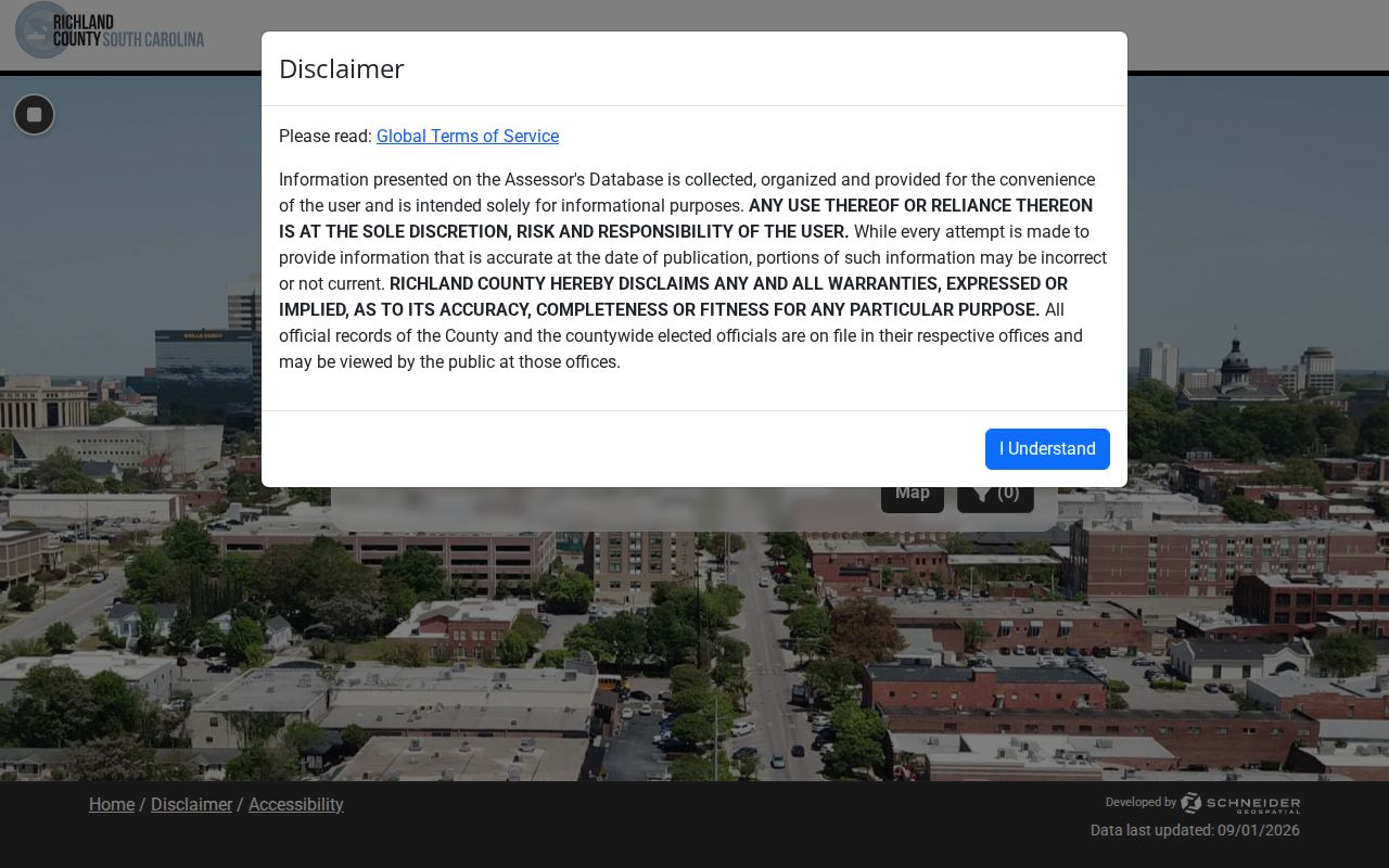
The property-search screen supports the three county identifiers and shows additional filters such as tax district, neighborhood, and map or shape search. It has a 300-result display cap. A tax mailing address can be different from the situs address, and a legal-residence classification is limited tax evidence. Neither field is a roster of the people associated with a block.
- Situs address
- The physical parcel address used in assessment work and the best start for a map search.
- Tax map number
- The county parcel identifier that connects the Assessor record and GIS despite address spelling variations.
- Legal description
- The lot, block, subdivision, plat, or other recorded land description that connects a parcel to deeds.
- Owner of record
- The person or entity shown in the property record, which is not proof of current presence at the parcel.
St. Andrews Precinct Context
Richland County’s polling-location and precinct list is useful for civic geography. It includes a St. Andrews precinct associated with Westminster Presbyterian Church at 1715 Broad River Road and a St Andrews Park entry at 920 Beatty Road, both in Columbia 29210. Those entries identify voting places and precinct names. They do not identify the people who live nearby or establish that a particular parcel belongs to a household.
MySCVotes is an individual self-service check, not a block-search route. It requires the person’s name, county, date of birth, and last four digits of the Social Security number as they appear on the registration record. South Carolina does not register voters by political party. A separate state voter-list product is limited to registered South Carolina voters and carries statutory field, fee, and use rules. The state also says ballot choices are not identified in the described list fields.
South Carolina Code § 30-2-50 restricts obtaining or using public-record personal information for commercial solicitation directed to people in the state. The county office can answer a custodial election question, and the State Election Commission FOIA form is a written fallback for a defined state election record. Neither option turns precinct geography into a public list of neighbors.
Note: A precinct name locates civic service geography only; it does not confirm an individual’s presence on a particular block.
St. Andrews Community Contacts
Public community contacts can be more useful than trying to infer private ties from a parcel map. For a parcel that GeoInfo places inside the City of Columbia, the City Council District I public list names the Broad River Corridor Association and Belmont Neighborhood Association. That list is city-only context. It does not establish that either group covers an unincorporated St. Andrews parcel, and it does not supply a member roster. No official Richland County umbrella association directory with member lists was found in the research.
The City Council’s public neighborhood-association directory is the appropriate source for the associations it chooses to publish. It should be paired with the City’s neighborhood polygon layer and the parcel’s GIS result before treating a group as relevant to a particular block.
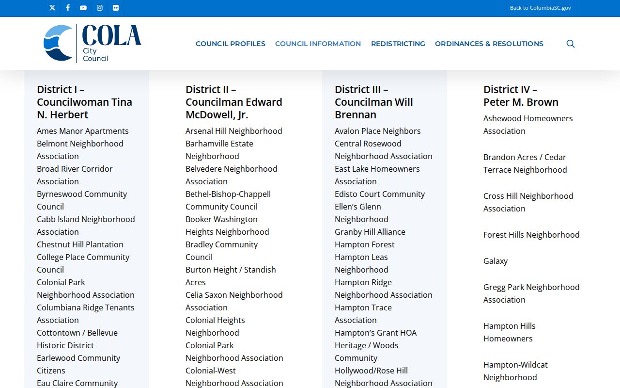
The public directory is a contact and civic-context source, not a way to identify membership or a person’s address. A historical church archive, cemetery collection, veterans-post collection, or local-history holding can also provide useful context when it states its own access terms. Attendance, event listings, and voluntary group participation should never be treated as residence evidence.
Broad River Corridor Association
Named on the City Council District I public association list for City of Columbia context. Confirm parcel jurisdiction and current group contact through the official directory.
Belmont Neighborhood Association
Also named on the City Council District I public association list. It is not evidence of coverage or membership for the unincorporated CDP.
St. Andrews Records Geography
St. Andrews is a CDP, which means its records can surface under St. Andrews, Columbia, or Richland County depending on the source. The postal city, Census place, county custodian, precinct name, assessed-neighborhood label, and City of Columbia association label are overlapping administrative terms. They should be written down as returned, not merged into one supposed neighborhood boundary. County systems have an assessed-neighborhood value of BELMONT - ST.ANDREWS ACRES, but that tax description is not the same thing as a Census place or an association area.
Search-name variants can prevent a missed local-history or map result. Try St. Andrews, Saint Andrews, St Andrews, the physical street name, Columbia, and Richland County when the system accepts those forms. A postal label may help with delivery, while a tax map number is the durable bridge between the GIS and Assessor. That division of labor is particularly useful for a block near a municipal or delivery boundary.
Note: Retain the source’s own place label when recording a result, since postal, county, Census, and association boundaries can differ.
Historic St. Andrews Neighbors
For an older block, place the address in time before comparing it with a current parcel map. Richland Library’s Walker Local and Family History Center serves Columbia, Richland County, and the county’s CDPs and unincorporated areas. Its historical resources include city directories, maps, local indexes, newspaper and magazine resources, school yearbooks, and remote obituary requests. The Columbia-area directory shelf and historic maps may use a different street form or a Columbia label, so search the variants without assuming that current postal geography existed at the earlier date.
A dated reverse or criss-cross directory, when a verified volume contains the address, can supply a historic street-to-name clue. Pair the directory year with a map, federal census schedule when available, or an ROD instrument that matches the legal description. The Richland ROD online index begins January 10, 1984, and online images begin February 19, 1998. Earlier work can need the counter, record books, microfilm, or an archival collection. A gap or missing volume should remain a gap in the record trail.
St. Andrews Neighbor Source Checks
Official sources and commercial people-data products answer different questions. The county map, Assessor, ROD, library, and election authorities identify their custodians, access routes, and limits. A commercial product can combine material from many places, but it may carry stale or mismatched information and does not replace a live county record. If a government record is wrong, ask the government custodian about its correction process. If a commercial product is wrong, use that operator’s published correction or removal channel.
| Source type | Best use | Check before relying |
|---|---|---|
| Official parcel and deed records | Parcel boundary, owner of record, legal description, and recorded transaction trail. | Confirm the tax map number, date, and matching legal description. |
| Library maps and directories | Historical street context and dated local clues. | Keep the publication date, source spelling, and known gaps. |
| Public community sources | Voluntary contact and civic context. | Confirm jurisdiction and avoid inferring membership or residence. |
| Commercial people-data category | A possible lead that needs independent confirmation. | Check against the actual custodian and follow the operator’s correction process. |
For a non-exempt county record that is not posted online, Richland County’s public-records procedure is the written-request route. South Carolina FOIA covers existing records held by a public body, subject to exemptions and lawful costs. A focused request for an identified record is more useful than asking the county to create a block report.
St. Andrews Neighbor Privacy
Public parcel information has firm boundaries. A map cannot reveal private utility customers, motor-vehicle information, delivery data, or every person connected with an address. Court matters can be sealed or expunged, and recent vital records are restricted. The South Carolina Attorney General’s Address Confidentiality Program gives qualifying participants a substitute address that state and local agencies and courts must accept. It does not erase every earlier public record, but it remains a protection that must be respected in a block-level search.
South Carolina also permits online suppression requests for eligible active or former law-enforcement or corrections officers and judges under statutes effective January 1, 2026. A suppressed home address, phone number, or tax-map field is not a portal error to work around. If the search raises an immediate safety concern, stop the records search and contact emergency or appropriate local authorities instead.