
Finding St. Andrews Street Records
A street-by-street search works best as a parcel trail. St. Andrews is a Census-designated place, so a county tool can return a Columbia postal label even when the parcel belongs to the CDP area. First resolve the physical address in Richland County Property Search or GeoInfo. The resulting tax map number, also called a parcel identifier, keeps similar street names from being confused. It also gives the next system a durable key. The owner field is a recorded property role, not a current resident list.
- Enter the street address in the Richland County Assessor applications and save the situs address, owner of record, tax map number, and legal description shown.
- Open Richland GeoInfo with that address or tax map number. Confirm the parcel outline, municipality, district context, and the adjoining parcel boundaries.
- For a recorded transfer, take the owner name, legal description, and book/page clues to the paid ROD index. Match the land description before treating two similarly named parties as connected.
- Move backward from a grantee to the prior grantor, retaining the instrument date and legal description for each step. Use the ROD counter when the web era ends.
- For older address clues, compare a dated Columbia reverse directory or historic map with the parcel trail. A dated listing is evidence for its publication period, not a current household list.
This parcel method separates a documented land trail from an assumption about occupancy. It also provides the cleanest route when an address is recorded under Columbia or Richland County instead of the St. Andrews label.
Note: Record the parcel key and legal description before switching portals, because a familiar street name may be incomplete or repeated.
St. Andrews Street Directory Search Fields
Richland County describes its Property Search as searchable by tax map number, street address, or owner. Those three entries serve different purposes. An address is usually the first key for a street directory search. A tax map number is more durable when a street spelling or mailing label varies. An owner search can find a property record, but it should not be read as proof that the named owner lives at the parcel. The property card provides tax-roll and parcel context rather than a roster.
| Property Search field | Entry type | When to use it | Important limit |
|---|---|---|---|
| Tax Map Number | Text | After GIS or a property card provides the parcel key | It identifies land, not a household. |
| Address | Text | For an exact street number and street name | Try confirmed place-label variants only after locating the parcel. |
| Owner | Text | To locate an owner-of-record property result | An owner may use another mailing address. |
| Legal Residence Exemption | Separate application | For an eligible owner service | It is limited property-tax context, not an occupant list. |
| Mailing Address Change | Separate application | For the owner administrative route | It is not a public browse field. |
The county-linked Richland Property Search shows an entry screen with Tax Map #, Address, Owner, and advanced controls.
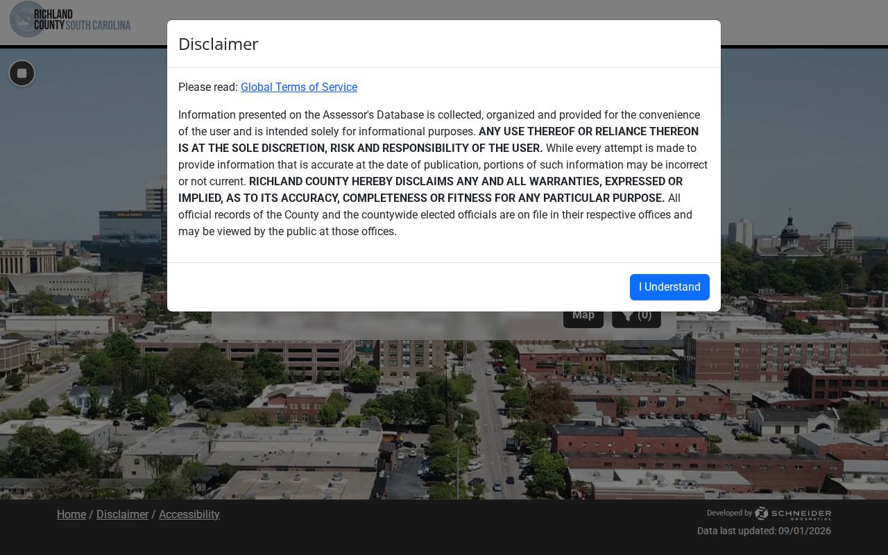
The portal also supports map or shape searching and has a 300-result display cap. It has no dedicated ZIP filter, so a complete street address or parcel key is more useful than a ZIP-only attempt.
St. Andrews Parcel Labels Explained
Four labels often appear together in a St. Andrews street search, but they are not interchangeable. The situs is the physical parcel. The tax mailing address is where a bill is sent when one is listed. The tax map number is the county’s parcel key. A legal description ties the land to a lot, subdivision, plat, or other recorded description. Keeping all four in notes avoids a common error: treating mail, ownership, and a physical address as the same fact.
- Parcel or tax map number
- The Richland County identifier used to connect the property record and the mapped parcel.
- Situs address
- The physical street address of the land or improvement being assessed.
- Plat
- A recorded map that can show lots, blocks, subdivision references, or boundaries.
- Criss-cross directory
- A dated directory arranged by street and address rather than by a person’s name.
A legal description is especially useful for a deed search because Richland ROD documents do not have to include an address or tax map number. The description, parties, and book/page trail give a safer match when modern street labels are incomplete.
St. Andrews Streets on Richland GeoInfo
GeoInfo has one public search input, Enter Address or Parcel TMS. It does not offer a public owner field, ZIP field, or radius-owner tool. Search the target address, select the parcel, and remain at the parcel scale when checking a street segment. The selected result can show address, municipality, school district, tax map number, owner, assessment context, zoning, last sale, precinct, and district information. Map proximity alone does not establish a shared address or a person’s connection to either parcel.
The Richland GeoInfo application is the map step for an address search because it helps distinguish unincorporated county parcels from City of Columbia parcels.
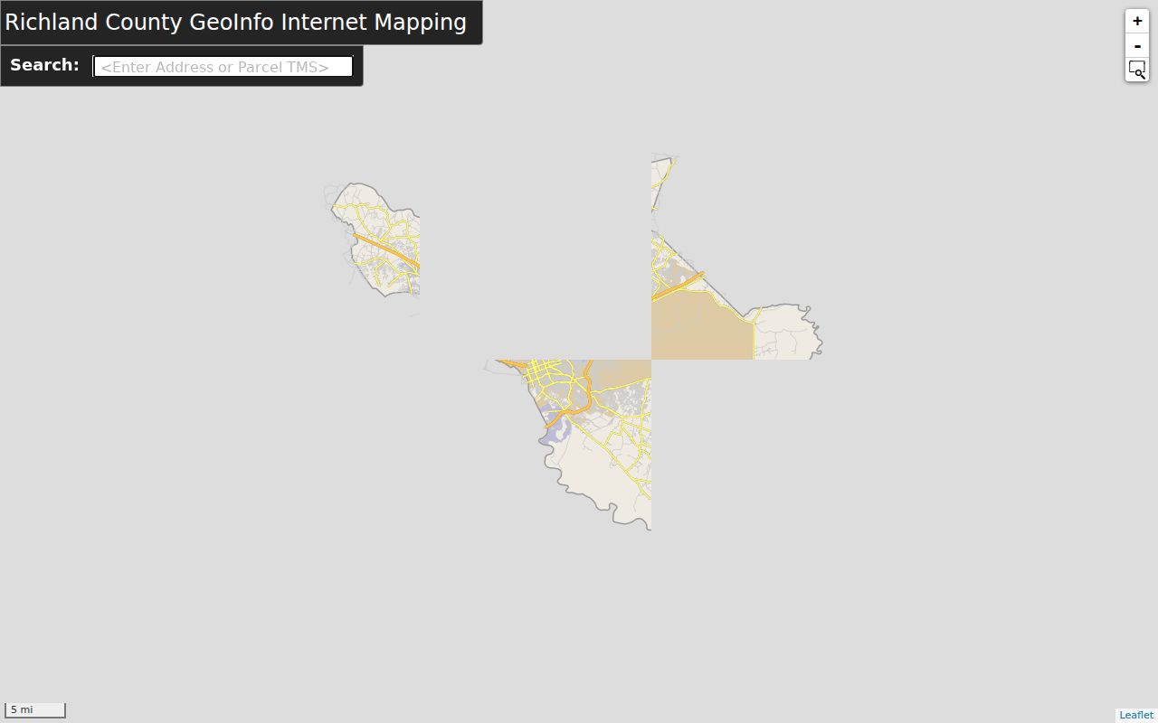
After a parcel is selected, click directly adjacent polygons and record their tax map numbers. Return each number to Property Search for its owner-of-record field instead of treating a map label as a complete address record.
Note: GeoInfo resolves parcel geography; it does not publish a street-wide resident roster or a public radius search of owners.
St. Andrews Deed Records by Street
The Richland County Register of Deeds preserves deeds, mortgages, liens, plats, satisfactions, and tax liens. Its web service is a paid subscription, not a free open index. The crucial access dates differ: online indexing begins January 10, 1984, while online document images begin February 19, 1998. A result in the earlier part of that interval can supply an index clue without an online image. Older deed work belongs at the ROD counter, with grantor, grantee, legal-description, book/page, and date clues in hand.
Use the paid index first by tax map number when available, then by book/page, name or firm, legal description, and date range. The county guide documents a percent wildcard for names and book-index categories for deeds, mortgages, liens, plats, releases, and UCC records. Address metadata may be absent, which is why an address-only result cannot settle whether an instrument exists.
The Richland ROD subscription gateway shows the paid entry point for deed-index access.
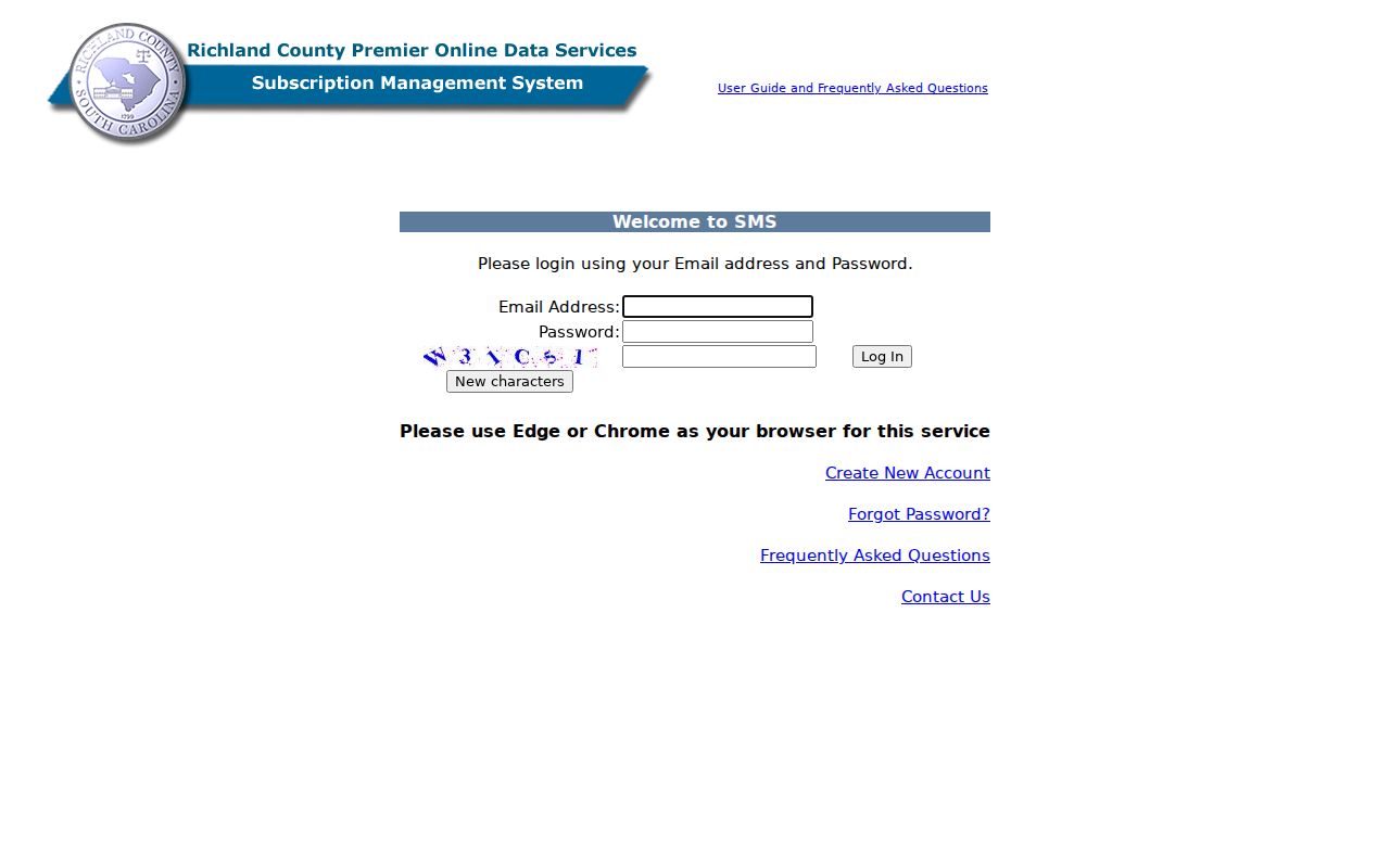
For pre-1984 grantor/grantee or book-page research, the ROD counter is at 1701 Main Street, Room 101, Columbia, and is listed at 803-576-1910. Ask for copy guidance and the appropriate historic book or microfilm route.
St. Andrews Street Geography Labels
St. Andrews, Columbia, and Richland County can all be valid labels for one address. St. Andrews is a CDP rather than an incorporated municipality; county offices are therefore the primary property-record custodians. A Columbia postal city can still resolve to an unincorporated Richland parcel. Preserve each label in a search log rather than discarding a county or Columbia result solely because it does not say St. Andrews.
Use USPS to confirm delivery for an exact address, GIS to confirm the parcel and municipal context, and Census material for CDP context. The three sources answer different questions. This records-geography issue is a practical reason an address search should begin with a parcel, not only a mailing-city or ZIP label.
St. Andrews Permit Records by Parcel
Richland Planning and Development handles permits, plan review, zoning, subdivision review, E9-1-1 addressing, and code enforcement for unincorporated property. Check GeoInfo’s Municipality field before selecting a custodian. A parcel within the City of Columbia follows city channels; an unincorporated St. Andrews parcel follows county channels. Permit information can date a reported improvement or project, but it does not show everyone who has been at the property.
The Richland eTRAKiT entry page exposes Permit, Project, Property, Inspection, and map functions, although direct permit searching required sign-in during research.
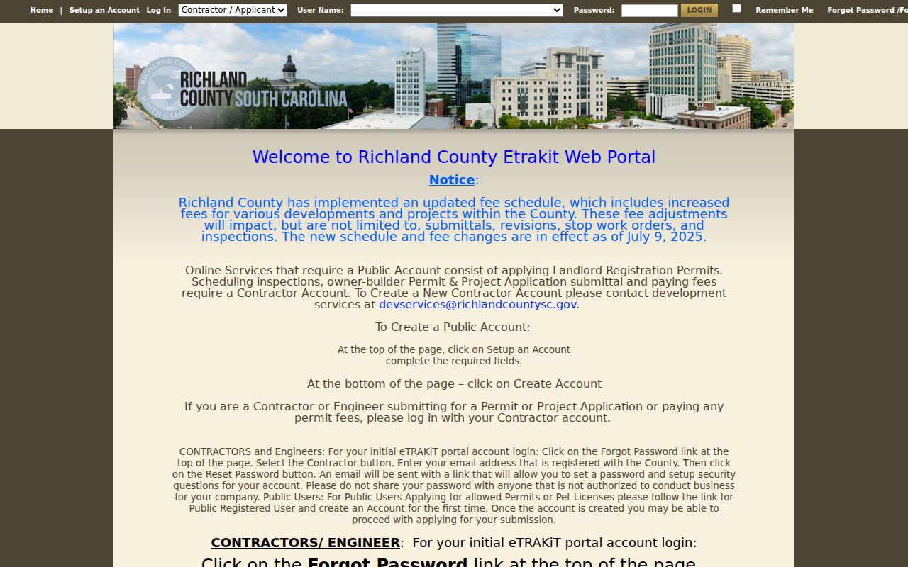
When a relevant public permit record is not available in the portal, make a focused request to the confirmed custodian. Richland County FOIA applies to an existing non-exempt county record and does not require the County to create a new report.
Note: Confirm the GIS municipality before requesting a permit record, since county and City of Columbia custody can differ by parcel.
St. Andrews Street Directory Coverage
Each address-keyed source answers a narrower question than the next. The property roll supplies the present tax-roll view. GIS places the parcel on the street. The ROD records transactions and legal descriptions. Historic directories can supply an older address-to-name clue. None becomes a complete directory when read alone, so preserve dates and source roles while moving from one record set to another.
| Address record | Custodian | Street-level value | Access route |
|---|---|---|---|
| Property / tax roll | Richland County Assessor | Owner of record, situs, tax map number, and tax context | Address, owner, or tax-map Property Search; counter or phone fallback. |
| GIS parcel map | Richland County GIS | Parcel boundaries, district context, and adjacent parcel selection | Public Property Search and GeoInfo mapping tools. |
| Recorded land instrument | Richland County ROD | Parties, book/page, dates, legal description, and recorded transaction | Paid online service or the ROD counter for earlier work. |
| Permit or inspection material | County or City, based on GIS jurisdiction | Public project or improvement lead when released | eTRAKiT where available; focused custodian or FOIA request. |
| Historic reverse directory | Walker Local and Family History Center | Dated street/address clue in a verified volume | Library collection and historic-map research channels. |
For a parcel-data question beyond the map, Richland GIS directs requests through the Ombudsman at ombudsman@richlandcountysc.gov or 803-929-6000. A request still needs to identify an existing non-exempt record and may be subject to cost, deposits, or redaction.
Historic St. Andrews Street Evidence
Older street work may be cataloged as Columbia or Richland County because St. Andrews has no separate municipal archive. The Walker Local and Family History Center collects materials for Columbia, Richland County, and the county’s CDPs and unincorporated areas. Its city directories, maps, local indexes, newspapers, school yearbooks, and remote obituary route can supply dated context. Search St. Andrews, Saint Andrews, St Andrews, Broad River, Columbia, and Richland County as appropriate catalog terms.
Hill Columbia directories are cataloged from 1929 through 1979 with gaps, followed by R.L. Polk volumes from 1985 through 1997 with gaps. Do not smooth those into a continuous list. Pair a volume with the printed year, a historic map, a released census record, or a documented deed step. For the historical volumes themselves, use the St. Andrews Directory Book.
Note: A reverse directory is dated publication evidence, so it should be paired with a parcel or recorded-document date before drawing conclusions.
Limits of St. Andrews Street Records
A parcel owner, tax mailing address, or deed party does not prove current occupancy or identify everyone at an address. MySCVotes is an identity-verified individual-record service that requires a name, county, date of birth, and the last four digits of a Social Security number. It is not an address-browse tool. A qualified South Carolina voter may purchase a defined voter list under state rules, but that channel has eligibility and use limits and should not be turned into a block map.
Private utility accounts and DMV records are not ordinary public street-directory sources. Court and vital records may be sealed or restricted. South Carolina’s Address Confidentiality Program can provide a qualifying participant with a substitute address that agencies and courts must accept. Ask the custodian about an existing non-exempt record, respect redactions, and correct a source record through the office that maintains it.
Lawful use. Use St. Andrews street records for personal, lawful research, family history, estate questions, or civic transparency. Never use an address search to stalk, harass, threaten, or harm anyone.