
St. Andrews ZIP Code Areas
St. Andrews is a Richland County census-designated place, not an incorporated postal municipality. For that reason, a delivery address commonly carries Columbia as its postal city even when the parcel is associated with St. Andrews. The practical starting references are 29210 and 29212. Census material also presents 29063 as a related ZCTA, a Census approximation of a delivery area. It is a border-check term, not evidence that every 29063 address belongs to the CDP. The ZIP code directory is most useful when each address is tested, rather than treating any one label as a complete local boundary.
| ZIP reference | St. Andrews-area context | Postal check | Record-search caution |
|---|---|---|---|
| 29210 | Columbia mailing area associated with much of the CDP; county precinct material includes St Andrews Park and St. Andrews addresses here. | Verify the full address with USPS. | A Columbia mailing label is not a legal St. Andrews boundary. |
| 29212 | Columbia mailing area associated with the north and west St. Andrews vicinity. | Verify the full address with USPS. | Its delivery area can extend beyond the CDP, so confirm the parcel in GIS. |
| 29063 | Related Census ZCTA reference around the CDP. | Check the exact delivery address with USPS. | Do not infer full CDP coverage from a ZCTA relationship. |
USPS lists a Dutch Fork Post Office at 1120 Briargate Circle in Columbia 29210, and an Irmo Post Office at 7821 Saint Andrews Road in Irmo 29063. A current distinct USPS station page for 29212 was not verified in the research. That absence matters: use the official address result, not an assumed station, when checking a delivery code. The ZIP code directory does not substitute for the carrier’s address validation.
Note: A related Census ZCTA can help flag a border question, but USPS must verify delivery for the particular street address.
St. Andrews Postal Geography
Three public systems describe different parts of the same address. USPS supplies delivery information. Census identifies the St. Andrews CDP and its ZCTA relationships. Richland County GIS resolves the parcel and its local jurisdiction. Keeping those labels side by side prevents an easy index miss: a county result may say Columbia, a census source may say St. Andrews, and a government office may file the same land under Richland County. All can be relevant without meaning the same thing.
A street address can also appear as St. Andrews, Saint Andrews, or St Andrews in catalogs and county systems. Preserve the spelling returned by the parcel record, then test the other variants only when the result is incomplete. The county sample at 1000 Saint Andrews Road is a field-format example, not a reason to carry forward any live property details. A physical street name, a tax map number, and the postal city each answer a different search problem.
Check a St. Andrews ZIP Code
The official USPS ZIP Code Lookup is the delivery channel for one exact St. Andrews-area address. In address mode it asks for street address, city, and state; apartment or suite information and a ZIP entry are optional. It also has city-and-state and ZIP-only modes. USPS cautions that its result does not confirm that any particular person or organization is present at the address. Use it to validate delivery information, not to assemble a resident list.
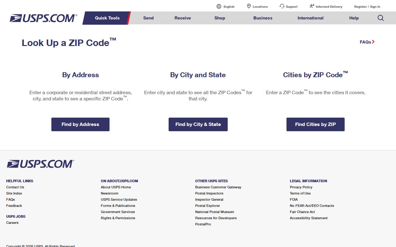
The address fields shown in the USPS tool make the order clear: enter the complete delivery location first, then save the returned postal city and code as delivery data. A unit number can change the result, so include it when it is known. For a historical address, do not project the current postal result back onto an old directory entry. Historic maps, the legal description, and a dated directory do better work for that question.
- ZIP Code
- A postal routing code used by USPS for delivery, not a city or property boundary.
- ZIP+4
- An added four-digit segment that narrows delivery routing beyond the five-digit code.
- PO Box ZIP
- A code used for post-office-box service, which may differ from a street-delivery code.
- Carrier route
- A delivery route within a postal area; it is not a public list of people at addresses.
St. Andrews ZIP Code Search
A ZIP can narrow an address question, but it is not a verified filter for the county property roll, the Richland Register of Deeds index, or the individual voter service. Richland County documents property searching by owner, street address, and tax map number. Its public materials do not document a ZIP filter. The ROD does not require an address or tax map number in all documents, and the individual MySCVotes check requires a name, county, and date of birth. Use the code to verify delivery, then move to the identifier each record system actually accepts.
- Enter the complete street address in USPS ZIP Code Lookup and note the returned delivery city and postal code.
- Search the address in Richland GIS or the Assessor service, confirm the parcel, and record its situs and tax map number.
- For a St. Andrews-specific question, compare the parcel’s geography with the Census CDP context instead of relying on the postal city.
- For an older address, carry the legal description into historic maps, directories, or the recorded-document trail rather than applying today’s ZIP.
Once a postal area narrows the question to one street, the St. Andrews street directory has the address-by-address record trail. That workflow begins with a parcel and does not assume a postal code can identify everyone connected with a block.
Note: Keep the returned postal city with the original address, because a county parcel record may use a different geographic label.
St. Andrews Parcel Clues
The county-linked Richland County Property Search resolves a current property through Tax Map Number, Address, or Owner. It can return situs address, owner of record, tax mailing address where shown, assessment context, legal description, and sales-history clues. Those fields help translate a mailing address into the durable county identifier. They do not establish who is currently present at the property, and a tax mailing address can be somewhere else.
The search screen shows why postal sorting comes second. Address and tax-map searches are supported, while no dedicated postal-code filter was verified. The live service has a 300-result display cap and allows map or shape searching and an Excel export, but a broad street query still needs care. Use the exact address or the parcel key gathered from GIS when a city-and-ZIP variation fails.
| Property Search field | Use for an address question |
|---|---|
| Tax Map # | Find a parcel by the county’s durable identifier. |
| Address | Start with a street location after confirming its postal form. |
| Owner | Find the current owner-of-record field, not a complete list of people present. |
| Tax District or Neighborhood | Refine a county property question, including the observed BELMONT - ST.ANDREWS ACRES value. |
| Map or shape search | Move from a known area to individual parcels without claiming a ZIP-wide roll. |
St. Andrews GIS and ZIPs
Richland County GeoInfo supplies address-specific political-district and assessment context, while the county Property Search supplies mapped and tabular property detail. Use GeoInfo to check whether the parcel is in unincorporated Richland County or inside a municipal area before sending a records question to a custodian. The GIS application is also the better route for checking a boundary address whose delivery city looks like Columbia but whose local geography needs confirmation.
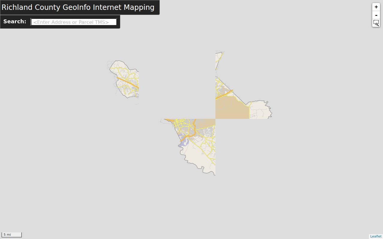
The GeoInfo view supports address context rather than a postal roster. Its documented results cover districts, assessment information, and proximity to public amenities. Richland’s related mapping tools offer parcel or address location, aerial and oblique imagery, Street View, layers, and printable maps. Pair a map result with the Assessor record before relying on a tax map number or legal description in a further search.
St. Andrews E9-1-1 Addressing
For unincorporated St. Andrews, Richland County Planning and Development Services is the E9-1-1 addressing authority. The county’s road-naming and addressing ordinance assigns a unique number to each qualifying structure and coordinates municipal addresses in the E9-1-1 database. The rule generally places odd numbers on the left and even numbers on the right from the designated origin, allows one number for each 50 feet of frontage, and directs corner lots to use the principal-entrance road. These are location rules, not a substitute for USPS delivery verification.
The E9-1-1 Address Request Application is the county route for an addressing request. It asks for the property owner, tax map number, subdivision or mobile-home park, lot information, driveway road, and adjacent addresses. The research found email submission to gisaddressing@rcgov.us, fax submission, and an office phone number of 803-576-2147. No published fee or processing time was located, so confirm both with the office before applying.
St. Andrews CDP and ZIPs
A ZIP code boundary and a St. Andrews boundary serve different functions. The CDP is a Census geography, while USPS codes guide delivery and Richland County records follow parcel, tax-map, and jurisdictional data. A 29210 result therefore cannot prove that a parcel lies in the CDP, and a related 29063 ZCTA cannot be treated as a full delivery or political boundary. This distinction is especially important near the north and west edge associated with 29212.
For a local public-record request, send the address, tax map number, or legal description to the office that holds the record. The Richland County public-records process is a written-request fallback for a defined, non-exempt existing county record under the South Carolina Freedom of Information Act. It does not require a custodian to create a postal-area report or disclose protected information. Use the county channel when no direct index is available.
Note: A delivery code can guide the search, but the parcel’s tax map number is the county identifier that follows the land.
Historic St. Andrews ZIP Context
Modern delivery geography should not be attached to an older address just because the street name remains familiar. The Richland ROD online index begins January 10, 1984, and online document images begin February 19, 1998. Earlier or legal-description-only work can require the Register of Deeds counter, record books, or microfilm. Search the parcel’s lot, block, subdivision, plat reference, or book and page when a current postal address does not lead to the older instrument.
For the household side of historical research, Richland Library’s Walker Local and Family History Center holds Columbia-area directories, maps, local indexes, and other collections that cover Richland County CDPs and unincorporated areas. The library’s historic material may use Columbia, St. Andrews, Saint Andrews, or Richland County. Preserve the dated source and the spelling used by that source. A historic directory entry is a time-specific clue, not a present-day delivery record.
Note: A blank online result may reflect the ROD’s digital cutoffs or a legal-description-only document, not an absence of the underlying county record.
St. Andrews ZIP Code Channels
Use the source that fits the question. USPS confirms delivery for one address. Richland GIS confirms parcel geography and local context. The Assessor ties a street address to a tax map number and owner-of-record field. The ROD supplies recorded transactions after a parcel or legal description has been resolved, with paid online access and counter help for older work. Census supplies the CDP and ZCTA context. None of these systems is a ZIP-wide list of people.
When a county record is not in a public interface, a focused written request under the South Carolina FOIA may be appropriate. Name the record already known to exist, describe it narrowly, and expect the office to apply exemptions and any lawful deposit. The research notes a determination within 10 business days, or 20 business days for records more than 24 months old. After a grant, production is due within 30 or 35 calendar days, subject to the law’s conditions.