
St. Andrews Previous Residents Sources
Previous residents research works best as a dated sequence, not as one master list. The oldest part of the trail comes from Columbia-area directories, historic maps, census schedules, and archival deed material. Richland County's Assessor and GIS then resolve a current address to a tax map number and legal description. The Register of Deeds follows the recorded transaction trail. Each source answers a different question. A deed shows a recorded property transaction; a historic directory offers a published household lead; neither alone proves everyone who lived at the address.
| Source | Years it covers | Where held | What it shows |
|---|---|---|---|
| USC Columbia city directories | 1859-1927, non-annual | USC digital collection | Dated name, address, and reverse-street clues |
| Hill and Polk Columbia directories | 1929-1979 and 1985-1997, with gaps | Richland Library Main/Downtown | Later published household leads |
| Sanborn maps | Columbia editions, 1884-1923 | USC digital map collection | Building and street context after sheet coverage is checked |
| Federal census | Released through 1950 | National Archives and research collections | Dated household and enumeration context |
| Richland ROD | Index 1984-present; images 1998-present | Paid web service and ROD counter | Recorded parties, legal descriptions, books, and pages |
| Probate estate records | Estate Inquiry after 1983; files from 1900 | Online inquiry, public computers, Probate Court | Estate-linked property transition evidence |
Begin with the era you need. For a recent recorded transfer, start with the parcel key and ROD. For an older household question, first test a directory or map, then pair it with a released census or deed date. The Directory Book holds the collection-level details for the Columbia volumes used in this trail.
St. Andrews Address Records First
St. Andrews is a CDP, so county systems may carry its address as Columbia, a Richland County parcel, or another mailing label. Start with the Richland Property Search by street address, owner, or tax map number. Save the situs address, tax map number, legal description, and owner of record exactly as the result displays them. The situs is the physical parcel; a tax mailing address is correspondence information and can differ. The tax map number is the durable bridge between the assessor and GIS.
Next, use Richland GeoInfo to verify the parcel outline and municipality. The map can identify whether a parcel is unincorporated or inside Columbia, and its selected-property panel supplies assessment, district, and parcel context. It is not a public radius-owner search. The reliable immediate task is to select the target parcel, preserve its identifier, and carry it forward to the ROD.
- Situs address
- The physical land or improvement address used for assessment. It is the normal starting point for an address search.
- Tax map number
- Richland County's parcel identifier, which helps match the assessor result, GIS selection, and deed research.
- Legal description
- The lot, block, subdivision, plat, or metes-and-bounds description used in recorded land documents. It can survive street-label changes.
Note: A parcel owner, mailing address, or legal-residence flag is not a list of people who occupy the property.
St. Andrews Deed Records Backward
The Richland County Register of Deeds preserves deeds, mortgages, liens, plats, satisfactions, and tax liens. For previous residents research, its useful role is the chain of recorded parties and legal descriptions. Do not begin with an address-only assumption. Richland documents do not require an address or tax map number in every index entry. A tax map number, book and page, legal description, name, and date range are the stronger routes when the address is absent or has changed.
- Use the Assessor and GIS to preserve the current tax map number, situs, owner of record, and legal description.
- Search the paid ROD index for the current owner as a likely grantee near the transfer date, then save the book, page, and legal description.
- Read the prior party as the grantor, then locate that person's earlier acquisition as a grantee.
- Match each link by legal description, lot, acreage, subdivision or plat reference, and book-page trail, not by name alone.
- Repeat backward, moving to counter books or microfilm when the web coverage ends.
- Grantor
- The party transferring an interest in the recorded instrument.
- Grantee
- The party receiving that recorded interest.
- Chain of title
- The linked sequence of recorded property transfers. It is a title trail, not an occupancy roster.
For a paid-search view of the ROD gateway, open the Subscription Data Services login.
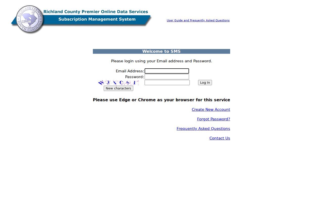
The login barrier matters: the ROD describes a daily, weekly, monthly, or annual plan before its web search is available.
St. Andrews Previous Resident Cutoffs
The ROD's two online dates must travel together. Its searchable index begins January 10, 1984. Document images online begin February 19, 1998. That means an instrument from the middle period may be index-visible but lack an online image, while earlier work can require grantor-grantee, book-page, or legal-description research at the counter. These are web-access dates, not the first dates Richland County recorded land documents.
The ROD counter is in the Richland County Judicial Center, 1701 Main Street, Room 101, Columbia, SC 29201. Published hours are Monday through Friday, 8:30 a.m. to 5 p.m.; the phone is 803-576-1910. Ask for pre-1984 grantor-grantee or book-page assistance and current copy guidance. The office lists in-person uncertified copies at $0.25 a page, instrument or microfilm copies at $0.51 a page, plats at $0.78 a page, and certified true records at $10. Mail copy service is listed at $15 including certification and requires a self-addressed stamped envelope.
For material beyond the online range, South Carolina Archives and History research resources identify selected county deeds on microfilm through 1920, plus plats and grants that reach further back. The counter and archival research room are the documented alternatives to a failed web search.
Note: The ROD online dates describe web availability, not when Richland County first preserved recorded land instruments.
St. Andrews Previous Households
Recorded ownership is only one part of an address history. For who lived here before, the household layer comes from dated Columbia directories, reverse-address sections where available, released census schedules, telephone directories, newspapers, and obituary citations. The USC city-directory collection covers 1859-1927 on a non-annual basis. Richland Library's Hill volumes span retained years from 1929-1979, while the Polk holdings cover retained years from 1985-1997. Each run has gaps, so a missing listing needs another source rather than an invented bridge.
The Walker Local and Family History Center is the correct local shelf for this work. Its scope includes Richland County CDPs and unincorporated areas, and its collections include city directories, maps, newspapers, yearbooks, an obituary index, and research assistance. Walk-ins, appointments, and remote obituary requests provide distinct access channels. The directory title may say Columbia even when the address is associated with St. Andrews.
- Find the historic street form or name in a surviving directory and preserve its year and page.
- Use the name section to capture the printed household, address, and other dated notation.
- Compare the next surviving directory volume and write down any gap between them.
- Pair the directory year to the nearest released federal census, then test it against a deed or probate date.
- Use an obituary-index citation or local newspaper to locate a later dated event.
See the Hill's Columbia directory catalog for its retained-year list before planning a library visit.
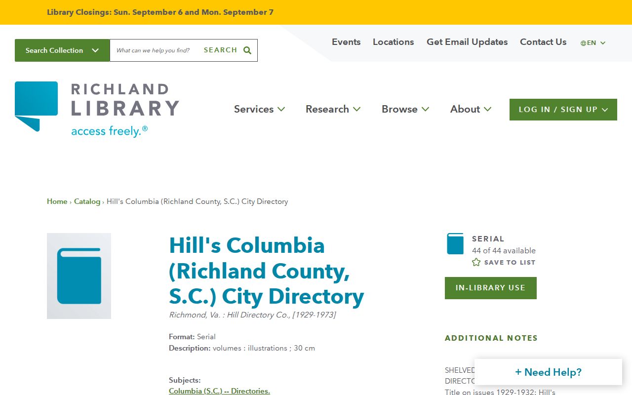
The catalog confirms which Hill years are present and makes the gaps in a household timeline visible.
St. Andrews Address Records on Maps
Historic maps can solve a street-name, building, or boundary question before an old address is compared to a modern parcel. The USC Sanborn map collection includes Columbia editions from 1884, 1888, 1893, 1898, 1904, 1910, 1919, and 1923. Check the key and index sheet first. A Columbia sheet does not automatically cover an address now associated with the St. Andrews CDP.
Richland Library also holds maps of Columbia and Richland County that can help verify historic street forms and ranges. Do not invent a St. Andrews renumbering or a coverage boundary when the source does not establish it. Maps give physical context. They do not identify residents or establish ownership.
Review the 1919 Columbia Sanborn map set and its index before relying on it for a specific address.
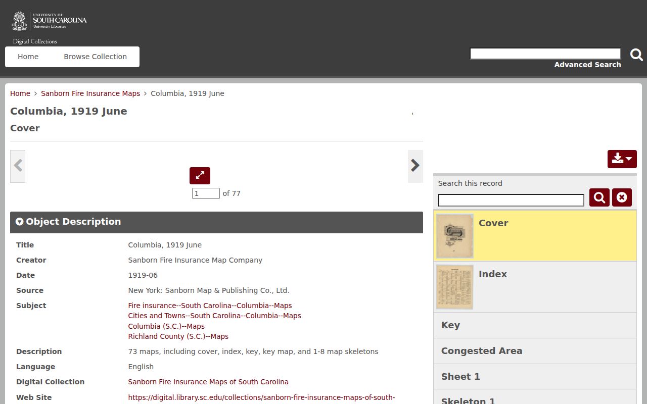
The map set is a building and street-context tool, useful only after its sheet coverage is verified for the historic address.
Note: A mapped building or street range gives physical context, not a name or a current occupancy finding.
St. Andrews Estate Record Endpoints
An estate file can explain a family property transition when it is paired with the recorded deed. Richland's Estate Inquiry provides a free post-1983 name index. Earlier files are at Probate Court. Estate files from 1900-1982 are on microfilm, and 1983-present files are scanned at public computers. The county lists $0.50 per in-person page and a $3 mail search fee before copying charges. These records can identify a dated estate process, but a decedent's file or a deed party does not establish a later location for a living person.
Permits and obituaries can form additional dated endpoints. Richland's eTRAKiT landing page exposes Permit, Project, Property, Inspection, and map functions, but direct permit searching redirected to sign-in during research, so public fields and coverage were not verified. Confirm municipality in GeoInfo first. For an unindexed, non-exempt county record, use the Richland County FOIA route with a narrow record type, address, and date span. South Carolina FOIA does not require the county to create a report or release protected information.
Family and estate use. A deed and estate record can explain a past family property transition, but neither should be used to track, harass, or harm a living person.
St. Andrews Previous Resident Limits
A title chain is not an occupancy claim. A current owner, former grantor, tax mailing address, directory entry, or census household has meaning only for the date and role the record shows. The ROD may not index every document by address, directory coverage is incomplete, and Sanborn coverage must be checked sheet by sheet. Protected addresses and restricted records remain outside this kind of research. Preserve dates, page or book references, spelling variants, and access gaps so the resulting house history is honest about what it can and cannot show.
The Walker Center is also a practical in-person fallback for the directory and obituary layer. View the Walker Center local-history page before visiting.
The library supplies historical context and access help, while its dated collections remain distinct from a present-residence record.